Tag Archives: Earth from space

The Earth in Stunning 4K UHD

By:   Space Videos

Can’t get enough of Earth?

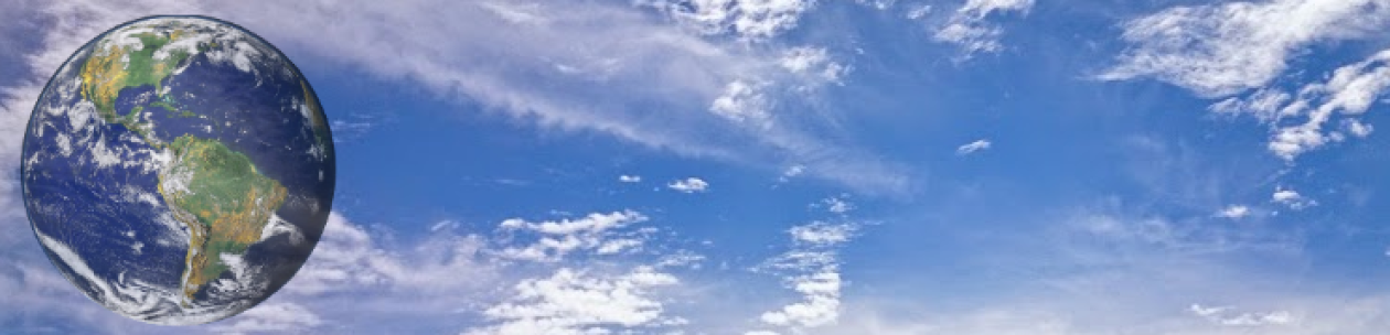
Then this is for you: an extended playback of Ultra High Definition views of Planet Earth, captured by NASA astronaut Jeff Williams during his mission on the International Space Station in 2016. You’ll see the French Riviera and the Sahara Desert, cross North America from Texas all the way to Canada, and more—this is your source for the view of your home planet from 250 miles up! Fire up the biggest screen you have. Then throw on your favorite music, kick back and watch. UHD download link: https://archive.org/details/NASA-Ultr

Subscribe For More Videos Like This:

http://www.youtube.com/user/ouramazin… See my latest videos :

https://www.youtube.com/user/ouramazi… Bringing you the BEST

Space and Astronomy videos online. Showcasing videos and images from the likes of NASA,ESA,Hubble etc. Join me on Facebook:

https://www.facebook.com/spaceisamazing Twitter:

https://twitter.com/AmazingSpace2 Google+ :

http://goo.gl/1WCBn9 Music by Keving Macleod

http://incompetech.com/music/royalty-…

One Year on Earth – Seen From 1 Million Miles


By: NASA Goddard

Originally published on Jul 20, 2016

On July 20, 2015, NASA released to the world the first image of the sunlit side of Earth captured by the space agency’s EPIC camera on NOAA’s DSCOVR satellite. The camera has now recorded a full year of life on Earth from its orbit at Lagrange point 1, approximately 1 million miles from Earth, where it is balanced between the gravity of our home planet and the sun.

EPIC takes a new picture every two hours, revealing how the planet would look to human eyes, capturing the ever-changing motion of clouds and weather systems and the fixed features of Earth such as deserts, forests and the distinct blues of different seas. EPIC will allow scientists to monitor ozone and aerosol levels in Earth’s atmosphere, cloud height, vegetation properties and the ultraviolet reflectivity of Earth.

The primary objective of DSCOVR, a partnership between NASA, the National Oceanic and Atmospheric Administration (NOAA) and the U.S. Air Force, is to maintain the nation’s real-time solar wind monitoring capabilities, which are critical to the accuracy and lead time of space weather alerts and forecasts from NOAA.

For more information about DSCOVR, visit: http://www.nesdis.noaa.gov/DSCOVR/

If you like this video, subscribe to the NASA Goddard YouTube channel: https://www.youtube.com/goddardtv

Credit: NASA’s Goddard Space Flight Center/Kayvon Sharghi

This video is public domain and along with other supporting visualizations can be downloaded from the Scientific Visualization Studio at:http://svs.gsfc.nasa.gov/12312

Follow NASA’s Goddard Space Flight Center on:

Facebook: https://www.facebook.com/NASA.GSFC

Twitter: https://twitter.com/NASAGoddard https://twitter.com/NASAGoddardPix

Flickr: https://www.flickr.com/photos/gsfc/

Instagram: https://www.instagram.com/nasagoddard/

Google+: https://plus.google.com/+NASAGoddard/…